


Announcement
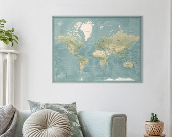
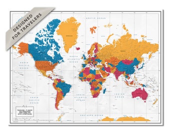
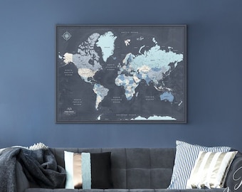
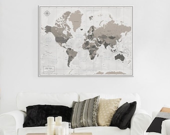
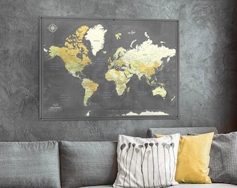
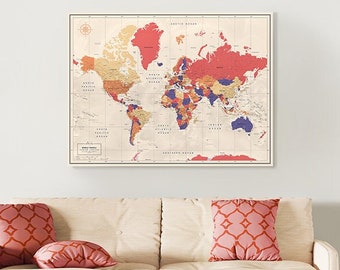
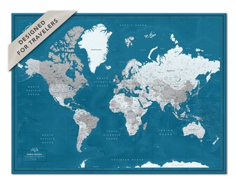
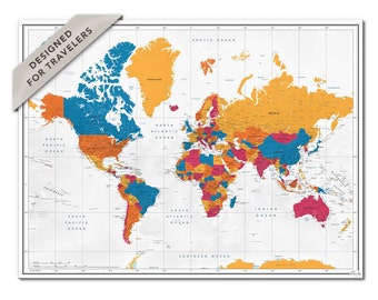
Welcome to Pin Adventure Map! Our shop specializes in handcrafted, personalized maps, ideal for showcasing travel experiences. Browse our selection to find the perfect map to celebrate your journeys or add a touch of elegance to any space.
.
Start to plan your adventures today!
Featured items
Items
Search result: 25 items
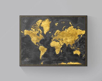
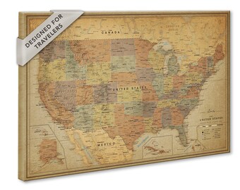
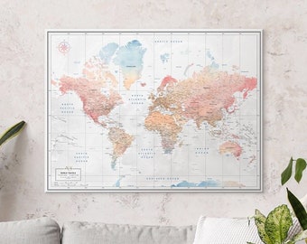
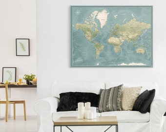
All Items


Reviews
-

-
blgdan82 on Apr 21, 2024
5 out of 5 starsLooks great on the wall, excited to continue your add pins!
-
joel on Apr 17, 2024
5 out of 5 starsGreat map arrived on time and seller was helpful before item was sent to check if the product was as ordered
-
Chloe on Apr 16, 2024
5 out of 5 starsBeautiful design and customer service was great as they could personalise a bit
-
Catherine on Mar 23, 2024
5 out of 5 starsThe map is perfect and prominently displayed in our home. We look foward to adding more pins to it in the future!
-

-
-
-
-
Megan on Feb 12, 2024
5 out of 5 starsColors are soo vibrant!! Great quality and packaged for shipping AMAZING!


About PinAdventureMap
The Story of Pin Adventure map
Shop policies
Shipping
Customs and import taxes
Payment options
Returns & exchanges
Cancellations
Cancellations: accepted
Request a cancellation: within 24 hours of purchase
Privacy policy
More information
Frequently asked questions
How Do You Ensure Quality of Your Products?
We - Pin Adventure Map - as passionate travelers by ourselves create premium design products with great value - a cartographically accurate and detailed travel map with pins. We have perfected our skills to deliver you our creative excellence in design and exceptional quality printing techniques.
All our products are Fine-Art print quality maps. They are printed by using Epson UltraChrome® HDX ten-colour pigment ink-set. In other words, that assures that maps have superior-quality with bright, vivid colors.
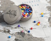
What are the geographical features on your Push Pin Maps?
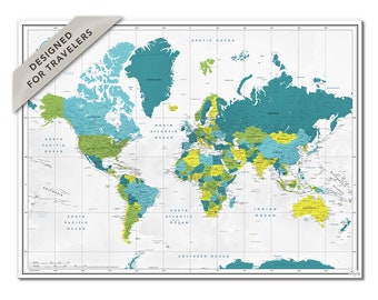
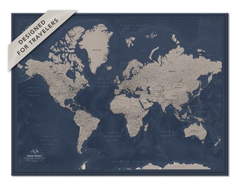
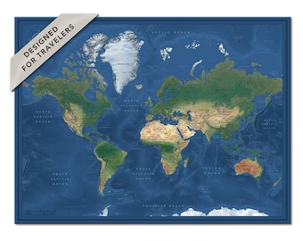
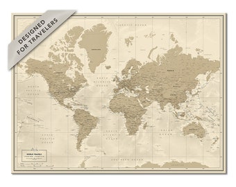
Pin Adventure map designs have the latest geo-data that is put together with a cartographer.
Included are country capitals, USA states, major cities, main interstate highways, largest rivers and lakes, National parks, National forests, UNESCO heritage, geographic landforms (lowlands, uplands, plains, deserts, mountains), biggest lakes, etc.
What is the difference between all making techniques?
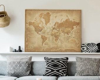
/ Canvas /
* Printed on thick 310g poly-cotton canvas;
* Mounted on foam core board;
* Wrapped on a 1,2″ / 3 cm thick wood frame;
/ Framed /
* Printed heavyweight 190g fine-art grade watercolor paper;
* Mounted on foam core board;
* Framed using 100% wood profiles for each map individually
/ Posters /
* Printed on Enhanced Matte heavyweight 192g fine art paper with a matte finish.
/ Mounted Posters /
* Printed on heavyweight 190g fine-art grade watercolor paper. Mounted on warp-resistant foam board
Do I have to pay an additional customs or TAX when I receive the package?
As we ship internationally, it may be subject to import taxes, customs duties, and/or fees imposed (e.g., handling fees) by the destination country. These charges are typically applied once the package arrives in the destination country.
* Our shipping costs do not include any customs charges you may incur.
* Customers are responsible for any customs and import taxes that may apply.
* If you send it as a gift to someone, the recipient can still be billed the customs charges.
In general, the buyer is responsible for paying the additional costs such as duties, taxes, and customs clearance fees. These charges can vary widely and are based on the price and type of item, package weight and dimensions, origin country.
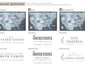
Can I add a banner and quote on the map?
Yes, it is possible to add both the banner and the quote on your travel map.
Will I see a preview of the map before printing?
Yes, you will receive a digital preview of your map within 24 - 48 hours after the purchase is made.
Seller details
Captcha failed to load. Try using a different browser or disabling ad blockers.